Navigation system in Taiwan Mandarin
Searches destinations in Taiwanese Mandarin
Navigation is made easier with the mobile address
Use your mobile phone to scan the QR code to select the destination and navigate automatically
Map with rich navigation
More level maps are needed
Scaling based on vehicle speed
Display complete location information about nearby businesses

Gas stations, convenience stores, parking lots, etc.
Map of the integrated public transport network
A clear map of the MRT network is displayed at a glance!
The map can be panned and rotated 360 degrees
Preview with no blind spots and a wide browsing range
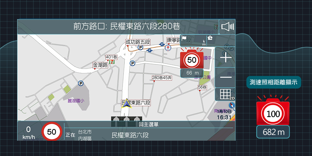
The distance between speed cameras can be displayed
Ahead are speed cameras, speed limits, and distance displays.
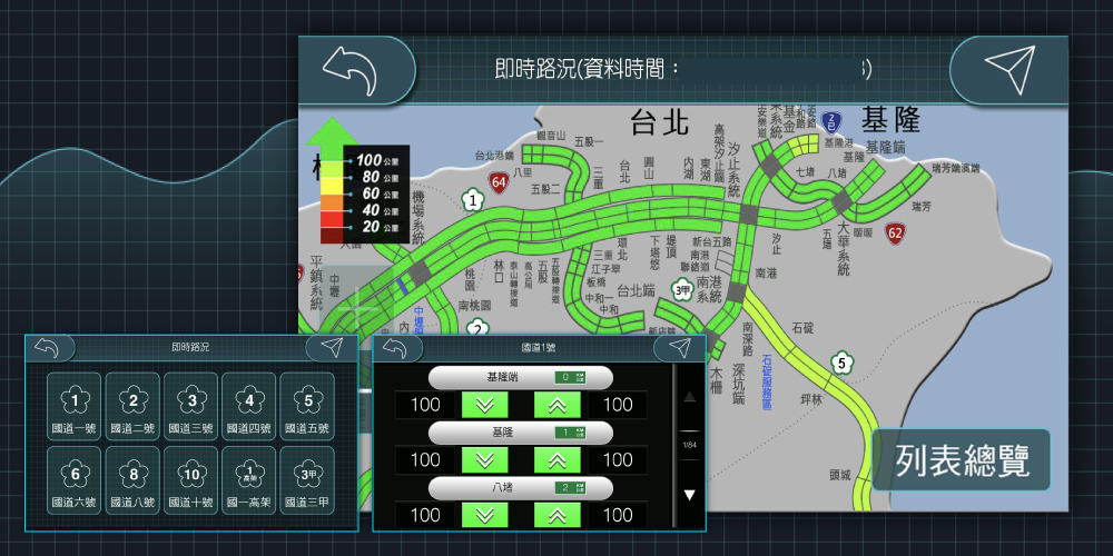
Real-time traffic information is displayed by navigation

Display of speed camera distance is supported by S2
Drivers should be reminded that speed cameras are ahead


